Use Google Earth to Track Your Mileage

Photo by Toomas Tartes on Unsplash
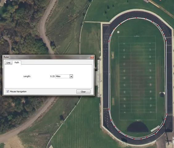
Recently I've taken up hiking during lunch. There is a nice mountain trail behind my house the I really enjoy. There are a few landmarks that I generally try to make it to with the time I have available. I was curious exactly how far those landmarks were so I used Google Earth to find out. Curious to know just how accurate Google Earth was, I decided to test it out. I found a local high school track and measured the path around it. .25 miles looks accurate to me!

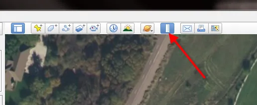
To use this tool, click the ruler icon and use the path tab to draw polygon shapes.

 Try EnvelopeBudget - Your grandparents' budget for the modern
age
 Need a custom website, app, or automation? Let's talk
